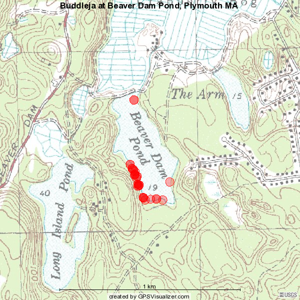
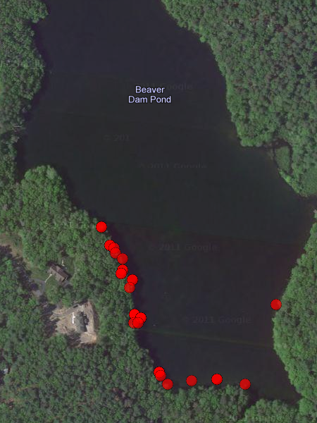
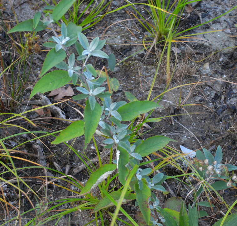
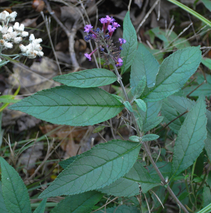
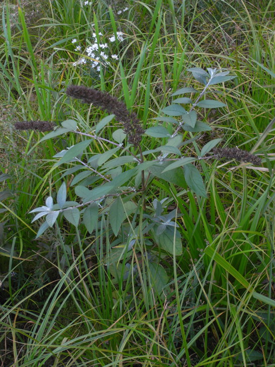
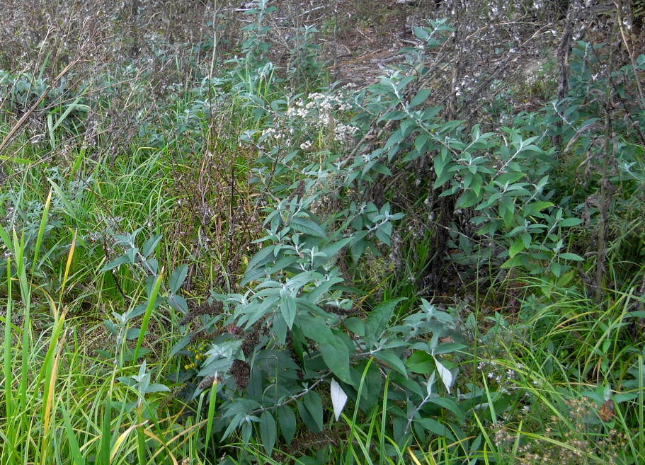
Buddleja davidii infestation
Tidmarsh Farms, Plymouth

Red dots refer to photographed plants. Both topo and satellite map are outdated: topo map is lacking new houses facing pond, seen on satellite map; full pond shown in satellite view does not exist anymore.
Photo A. Zinovjev 15 Oct 2011 (Salicicola.com). Geotagging implemented by synchronizing camera (photo timestamp) with standalone Garmin GPS, coordinates kept in separate files, exif headers left unmodified. Maps created using online service by GPS Visualizer (http://www.gpsvisualizer.com/)